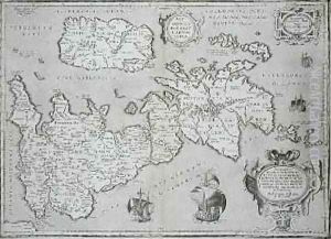
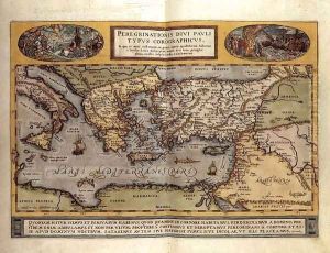
Abraham Ortelius Paintings
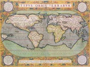
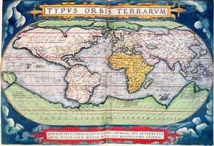
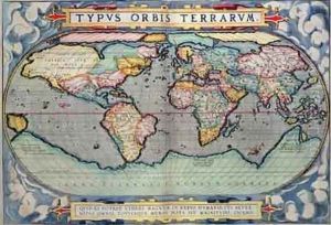
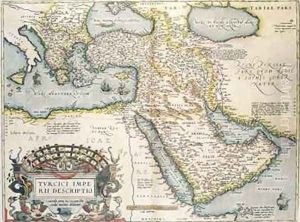
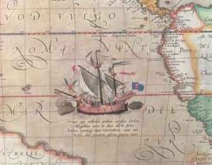
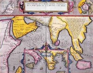
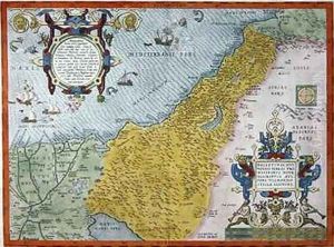
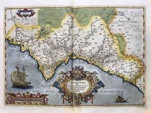
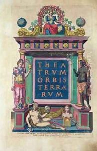
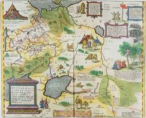
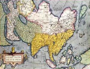
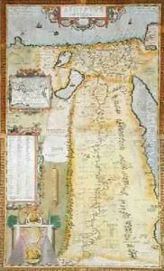
Abraham Ortelius was a notable figure in the field of cartography and geography during the Renaissance period. Born in Antwerp, which was part of the Habsburg Netherlands during his lifetime, Ortelius was originally a map-engraver and dealer in rare books, maps, and atlases. His most significant contribution to the field was the creation of the 'Theatrum Orbis Terrarum' in 1570, which is considered to be the first modern atlas.
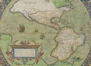
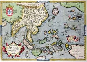
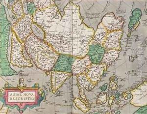
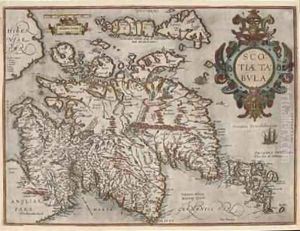
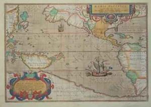
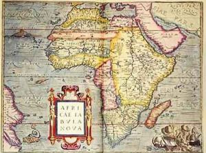
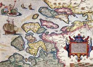
The 'Theatrum Orbis Terrarum' was groundbreaking as it compiled the best available maps of various regions of the world, standardized to a uniform format, and included detailed scholarly information about the sources and the regions depicted. Ortelius’s atlas was widely popular and went through numerous editions in different languages, significantly influencing the spread of geographical knowledge throughout Europe.
Ortelius is also known for his work in promoting the idea of continental drift, centuries before it was accepted by the scientific community. In his work 'Thesaurus Geographicus,' published in 1587, he hypothesized that the Americas were 'torn away from Europe and Africa... by earthquakes and floods' and noted the complementary coastlines of the continents on either side of the Atlantic Ocean. This early hypothesis was a remarkable insight for his time, though the full theory of plate tectonics would not be developed until the 20th century.
Beyond his contributions to cartography and geography, Ortelius maintained correspondences with many of the leading scientists and humanists of his time, including the likes of Gerardus Mercator and John Dee. His role in the intellectual community of the Renaissance and his influence on the dissemination of geographical knowledge helped shape the modern understanding of the world.
Ortelius’s death in 1598 marked the end of a distinguished career that had a lasting impact on the field of geography. His atlas set the standard for future generations of cartographers and remains an important historical document, showcasing the state of geographical knowledge and cartographic design at the close of the 16th century.
