Christopher Saxton Paintings
Christopher Saxton was an English cartographer who is best known for his pioneering work in creating the first county maps of England and Wales. Born around 1540, his early life remains relatively undocumented, but it is known that his significant contributions to cartography began in the latter half of the 16th century.
Saxton's work came at a time when England, under the rule of Elizabeth I, was becoming an increasingly powerful maritime nation with a growing interest in geography and navigation. Recognizing the need for accurate maps for administrative and economic planning, the Crown supported Saxton's endeavors.
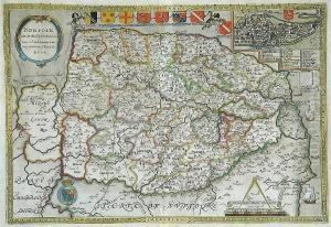
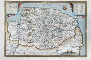
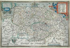
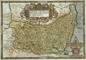
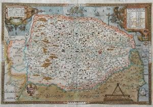
In 1574, Saxton received a royal license to survey the counties of England and Wales. Over the next several years, he would travel extensively, measuring the land and compiling detailed topographical information. His surveys led to the publication of the 'Atlas of England and Wales' in 1579, which comprised 34 county maps and a general map of England and Wales. This atlas was groundbreaking, not only for its scale and accuracy but also for being the first collection of maps to cover an entire country at such a level of detail.
Each map was richly decorated with cartouches, the royal arms, and sea monsters, and they served not just as practical tools but also as works of art. Saxton's maps were used extensively for administrative purposes and also influenced other cartographers across Europe.
Saxton's later life is less documented, and the exact date of his death is uncertain, but it is believed that he died around 1610. His legacy lives on through his maps, which remain valuable historical documents and exemplify the skill and dedication of early cartographers. Saxton's achievements mark him out as a pioneer of English cartography, and his work laid the foundations for all subsequent map-making in Britain.
