Claude Masse Paintings
Claude Masse was a French cartographer and engineer who lived during the late 17th and early 18th centuries. Born in 1652, Masse is notably recognized for his work in military engineering and cartography under the reign of Louis XIV of France. His contributions were significant during a time when accurate mapping and strategic fortifications were essential to the military ambitions and defenses of European powers.
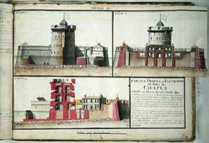
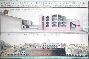
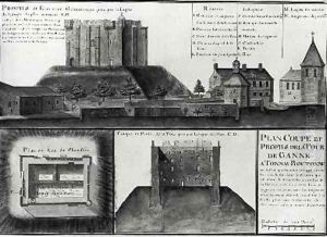
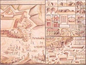
Masse's career was marked by his expertise in fortification, which was an essential aspect of military strategy during the age of siege warfare. He worked extensively on the fortifications of various French towns and cities, ensuring their defenses were updated according to contemporary military architectural principles. His skills as a cartographer were also crucial for creating detailed plans and maps that were used for both military and civilian purposes.
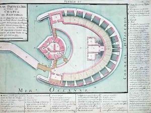
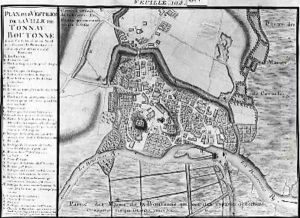
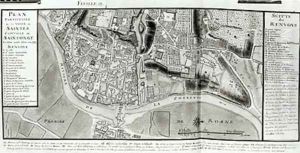
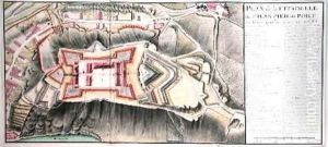
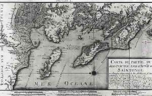
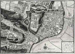
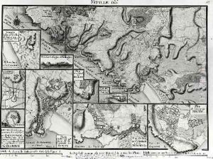
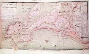
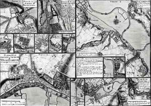
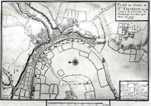
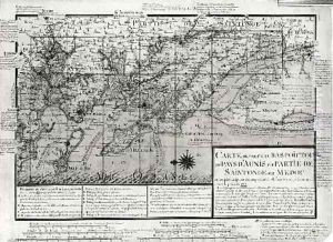
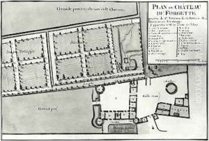
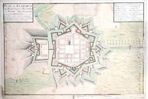
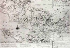
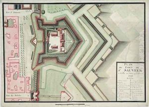
His works include a large number of maps and plans, some of which were highly detailed representations of French coastlines, borders, and fortifications. These maps were not only practical tools for military commanders but also works of art due to their precision and aesthetic qualities. Masse's contribution to the mapping of France played a role in the country's military campaigns and also in the administration of its territories.
Claude Masse's influence extended beyond his lifetime, as his maps and engineering principles continued to be referenced and studied. He died in 1737, leaving behind a legacy that would be valuable to cartographers, military engineers, and historians alike. His work reflects the importance of cartography and engineering in the context of early modern statecraft and military strategy.
