Franz Hogenbergh Paintings
Franz Hogenberg was a German engraver and cartographer known for his significant contributions to the fields of cartography and city mapping during the 16th century. He was born in 1535 in Mechelen, which is now part of modern-day Belgium, and died in 1590 in Cologne, Germany. Hogenberg's family moved to Cologne, where he was primarily active as an artist. His father, Remigius Hogenberg, was also an engraver, indicating that Franz likely received his initial training within his family's workshop.
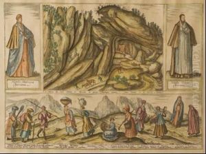
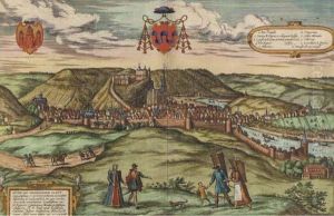
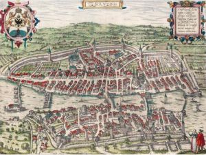
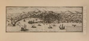
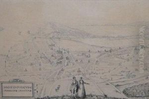
Hogenberg is best known for his work on the 'Civitates Orbis Terrarum', which is considered one of the most important works in the history of urban cartography. This six-volume work, co-edited with the Flemish scholar Georg Braun and published between 1572 and 1617, encompassed over 500 maps and views of cities from all around the world, many of which were based on firsthand drawings by contributing artists who traveled extensively. Although Hogenberg died before the completion of the work, his foundational contributions helped shape the project, which provided an unprecedented visual record of cities during the late Renaissance period.
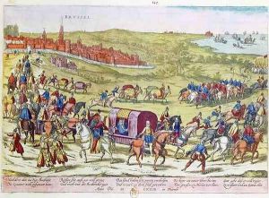
In addition to his work on the 'Civitates Orbis Terrarum', Hogenberg produced numerous other engravings, including portraits, historical scenes, and a series of engravings depicting events of the Eighty Years' War in the Low Countries. His engravings are known for their detail and accuracy, reflecting the style and aesthetic of the Northern Renaissance.
Hogenberg's impact on the art of engraving and cartography was significant, as his works were among the first to systematically depict cities in profile views with a high level of detail. His legacy is preserved in the maps and cityscapes that continue to serve as valuable historical records of urban life in the Renaissance era. Hogenberg's work not only provided contemporary viewers with a sense of the world's complexity and diversity but also set a standard for the accuracy and beauty in the art of engraving and mapmaking for future generations.
