Jacques-Nicolas Bellin Paintings
Jacques-Nicolas Bellin was a French cartographer, hydrographer, and geographer, born in 1703 in Paris, France. He played a significant role in the development of cartography in the 18th century and is best known for his detailed and precise maps of coastal regions.
Bellin was appointed the Chief Cartographer to the French Navy at a young age, which gave him access to the latest navigational knowledge and exploratory findings. In this position, he was tasked with producing accurate nautical charts that were essential for maritime navigation at the time. He also became the official hydrographer to the French King Louis XV, which further enhanced his reputation and influence in cartography and navigation.
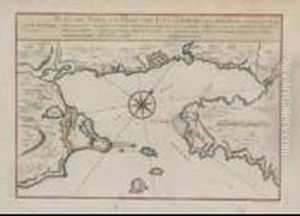
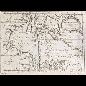
Throughout his career, Bellin produced a large number of maps and charts, including sea atlases such as the 'Hydrographie françoise' which contained charts for the use of the French navy, and the 'Petit Atlas Maritime,' which contained a wide variety of information, including maps of different parts of the world, plans of cities, and depictions of forts and harbors. His work contributed to the expansion of geographical knowledge during the Age of Discovery and Enlightenment.
Moreover, Bellin was a member of the French intellectual group called the Philosophes, a group that included figures such as Voltaire and Diderot. He contributed to the 'Encyclopédie' by Diderot and D'Alembert, providing maps and geographical information, which helped in spreading new scientific ideas and knowledge throughout Europe.
Bellin's work was characterized by its precision and attention to detail, as well as its aesthetic qualities. His maps were not only practical tools for navigation but also works of art that were sought after by collectors and the educated elite of his time. His influence extended beyond France, as his maps were copied or translated into multiple languages, making them accessible to a wider European audience.
Jacques-Nicolas Bellin died in 1772, leaving behind a legacy as one of the most important cartographers of his era. His maps and atlases would continue to be used well into the next century, reflecting the lasting impact of his meticulous work on the field of cartography.


