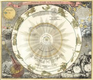
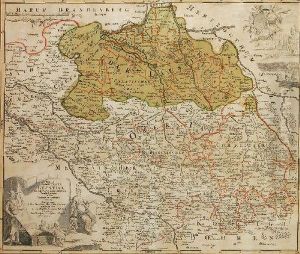
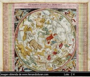
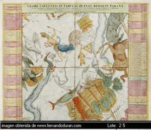
Johan Baptist Homann Paintings
Johann Baptist Homann was a renowned German geographer and cartographer who made significant contributions to the field of cartography during the late 17th and early 18th centuries. Born in Oberkammlach in the Electorate of Bavaria on March 20, 1664, Homann initially pursued a religious education before turning to engraving and cartography.
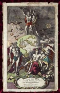
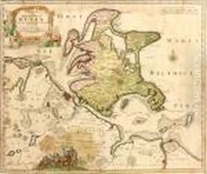
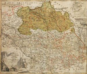
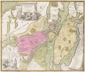
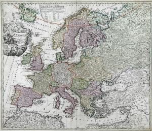
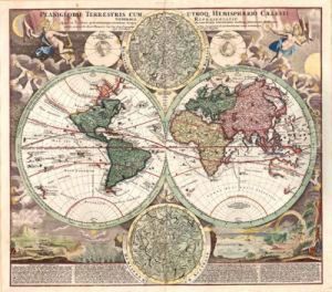
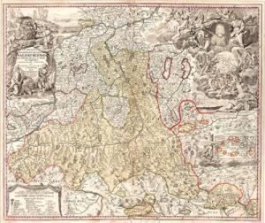
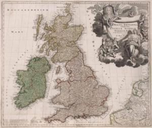
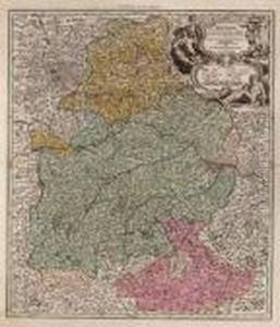
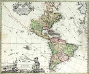
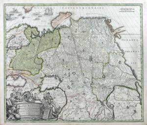
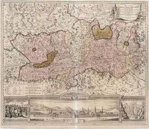
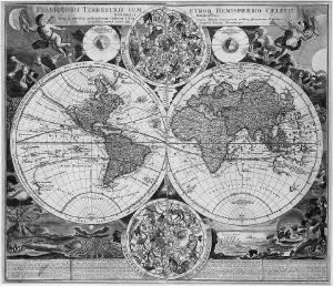
Homann established his own publishing house in Nuremberg in 1702, which became famous for producing high-quality maps, atlases, and geographical books. His work was characterized by detailed and accurate representations combined with elaborate decorative elements, such as cartouches and allegorical figures, which were popular during the Baroque period.
In 1707, Homann published his 'Neuer Atlas über die ganze Welt' (New Atlas of the Whole World), which was well-received and increased his reputation. His business flourished and he produced a wide range of individual maps and atlases, including the 'Grosser Atlas ueber die ganze Welt' (Grand Atlas of all the World) in 1716 and the 'Atlas Homannianus', his most comprehensive work, posthumously published by his heirs in 1737.
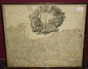
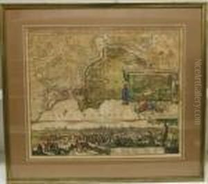
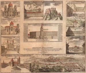
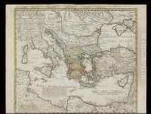
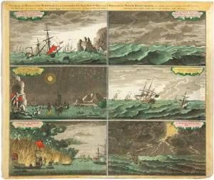
Homann's maps were not only tools for navigation and geographical education but also works of art. They often included rich embellishments and were used by the political, social, and economic elite of the time. His firm, Homann Heirs, continued to be a leading map publisher for decades after his death, and the maps created under his name had a lasting impact on the field of cartography.
Homann was appointed Imperial Geographer of the Holy Roman Empire by Emperor Charles VI, which was a significant honor and a testament to his skill and the quality of his work. His contribution to the cartography was highly influential, setting standards for map accuracy and design during his time.
Johann Baptist Homann died in Nuremberg on July 1, 1724. His legacy continued through the Homann Heirs, which maintained the reputation of the Homann family for high-quality cartographic works well into the 18th century. Today, his maps are highly prized by collectors and are considered important historical documents that offer insight into the geographical understanding of the Baroque era.
