John Tallis Paintings
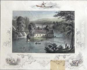
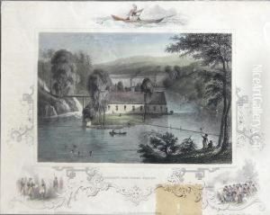
John Tallis was an English cartographic publisher prominent in the mid-19th century. Born in 1817, Tallis is best remembered for his highly detailed maps and atlases that captured the expanding knowledge of the world during the Victorian era. His company, John Tallis and Company, was renowned for producing maps that were not only accurate but also richly decorated with vignettes and illustrations that depicted local scenes, people, and wildlife, making them as much works of art as scientific instruments.
Tallis's maps are distinguished by their elaborate border designs and the detailed illustrations that often accompanied them. These features set his work apart from that of his contemporaries, making his maps highly sought after by collectors today. Among his most famous works are the Illustrated Atlas, and Modern History of the World and The British Atlas, which included detailed maps of the counties of the United Kingdom. His international coverage was also notable, with maps ranging from the Americas to the far reaches of the British Empire, reflecting the global interests of the Victorian period.
Despite the competition from other map publishers of the time, Tallis's firm managed to stand out due to the high quality and artistic merit of his work. The Illustrated Atlas, published for the 1851 Great Exhibition in London, is a testament to his vision of combining useful knowledge with aesthetic pleasure. However, the advent of more scientific and less decorative mapping techniques eventually led to a decline in the popularity of his style.
John Tallis died in 1876, but his legacy endures through his contributions to cartography and the artistry of map-making. His work provides a unique window into the 19th century's view of the world, offering insights not only into geography but also into the cultural and imperial attitudes of the time. Today, Tallis's maps are celebrated for their beauty and historical value, capturing the imagination of a bygone era.

