William Faden Paintings
William Faden was a prominent British cartographer and publisher of the 18th and early 19th centuries, whose work significantly contributed to the field of mapping and geography. Born in 1749, Faden became renowned for his detailed maps and atlases, particularly those that related to the American Revolutionary War and other significant historical events of his time. He took over the business of Thomas Jefferys, a leading mapmaker in London, in 1771, and from there, he built a reputation for precision and quality in mapmaking.
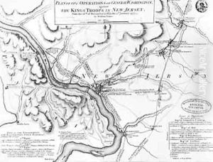
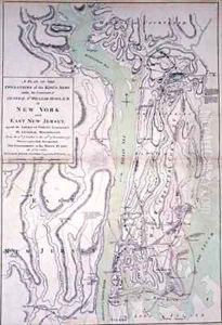
Faden's work was highly regarded, and he was appointed Geographer to the King, George III, a position that underscored the importance of his contributions to cartography and the high esteem in which he was held. His maps were not only valuable for navigation and exploration but also played a crucial role in military planning and strategy. For example, his map titled 'A Plan of the Battle of Bunker Hill' and 'A Map of the Northern Part of New Jersey' were critical for understanding the geographic contexts of these pivotal Revolutionary War battles.
Throughout his career, Faden published a vast array of maps, atlases, and geographical manuals. His publications, such as the 'North American Atlas' in 1777, were essential for explorers, settlers, and government officials, providing them with the most accurate geographical information available at the time. Faden's dedication to his craft and his ability to capture and convey geographic detail helped to advance the field of cartography during a period of significant exploration and expansion.
William Faden retired in 1823, passing his business to James Wyld, another esteemed mapmaker who continued Faden's legacy of excellence in cartography. Faden died in 1836, leaving behind a body of work that remains of historical and geographical significance. His maps are prized by collectors and studied by historians and geographers as exemplars of the mapmaker's art during the Age of Enlightenment and the early modern period.

