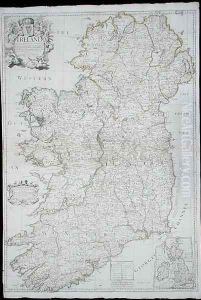
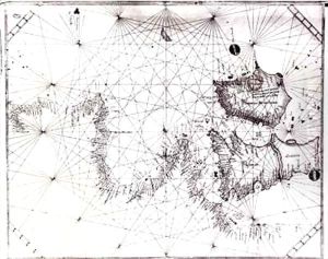
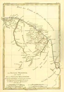
Political Boundaries
147 Items
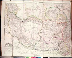
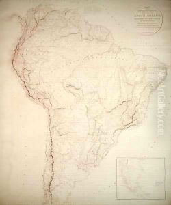
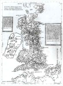
Explore the intricate world of political boundaries through our collection of classic oil painting reproductions. These hand-painted replicas capture the essence of historical maps and significant geopolitical moments, offering a unique perspective on the ever-changing landscape of our world. From detailed depictions of ancient empires to modern nation-states, each piece tells a story of power, conflict, and unity.
Designed to enrich your space, these artworks are perfect for home offices, libraries, or study rooms, sparking conversation and reflection. Available in various sizes, you can choose a large statement piece to dominate a wall or smaller works to create a thoughtful gallery arrangement.
Our reproductions feature rich colors and textures that evoke a sense of history and depth, seamlessly integrating with both contemporary and traditional décor styles. Whether you’re a history enthusiast or simply appreciate the artistry of maps, these pieces provide a striking visual narrative that enhances your environment.
Transform your walls with these timeless oil painting reproductions that celebrate the complexity of political boundaries. Shop our collection today and bring a piece of history into your home.
Show More
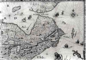
Map of New France dedicated to Colbert by Duchesneau Intendant
Jean Baptiste Louis Franquelin
$213.85$305.50
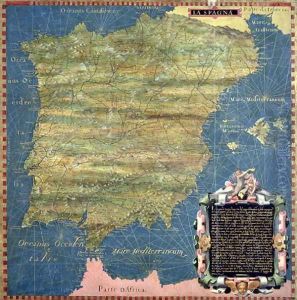
Map of Sixteenth Century Spain, from the 'Sala delle Carte Geografiche'
Egnazio Stefano and Danti Bonsignori
$208.39$297.70
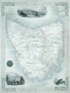
Van Diemens Island or Tasmania, from a Series of World Maps published by John Tallis and Co., London and New York, 1850s
$231.14$330.20
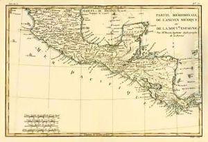
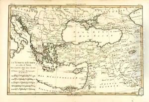
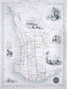
Western Australia, from a Series of World Maps published by John Tallis and Co., London and New York, 1850s
$231.14$330.20
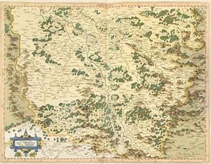
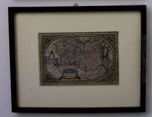
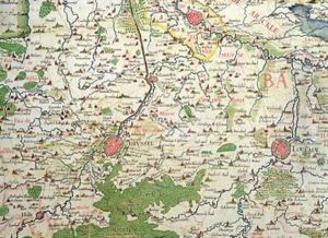
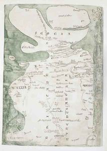
Map of Lotharingia from Atlas sive cosmographicae meditationes de fabrica mundi et fabricati figura
$207.48$296.40
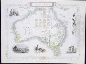
Australia, from a Series of World Maps published by John Tallis and Co., London and New York, 1850s
$235.69$336.70
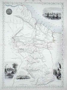
British Guyana, from a Series of World Maps published by John Tallis and Co., New York and London, 1850s
$231.14$330.20
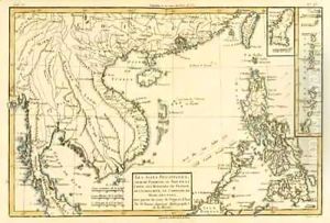
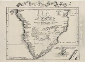
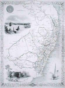
New South Wales, from a Series of World Maps published by John Tallis and Co., London and New York, 1850s
$235.69$336.70
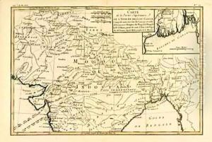
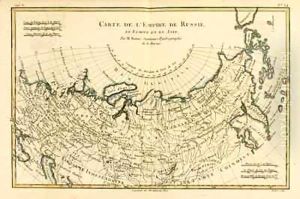
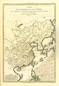
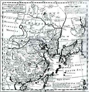
The Chinese Empire, Chinese Tartary and the Kingdom of Korea, with the Islands of Japan
$244.79$349.70